Supported by


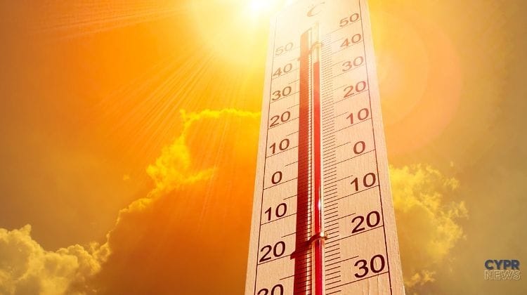
Yellow weather alert will be valid today from 1:00 p.m. to 4:00 p.m.The Department of Meteorology warns of extremely high temperatures, which are expected to reach around 41°C.
It will also be hot high in the mountains. In the highest areas, thermometers will show around 32°C, while on the coast it is expected to range from 33°C in the west to around 36°C in the other coastal regions.
Warning No. 55 was issued Thursday afternoon and covers today's peak temperatures.
A relatively hot air mass is moving into the country. This will be felt most strongly inland, where temperatures are expected to rise to around 41°C.
On the west coast, temperatures are forecast to reach around 33°C, on the other coasts around 36°C, and in the highest parts of the mountains around 32°C.
The alert will be valid between 13:00 a 16:00.
The weather will remain cloudless for most of the day.
In the morning the wind will be light and variable, later it will blow mainly from the southwest and northwest.
On the southwest coast it can reach locally 5 on the Beaufort scale.
The sea will be calm or slightly rough in the morning, and a little rougher in places on the windward side in the afternoon.
In the evening and overnight the weather will remain mostly clear.
The wind will be light to moderate initially, later weakening. The sea will be calm to slightly rough.
Last night, temperatures were around 23°C inland and on the north and east coasts, around 24°C on the other coasts and around 19°C in the highest parts of the mountains.
Temperatures are expected to drop slightly on Saturday.
Similar values will remain on Sunday and Monday. However, it will still be slightly warmer than the climate averages for this part of August.
On Sunday and Monday afternoon, there may be locally more cloud cover, especially in the mountains.
Low clouds and light fog will also be possible late at night and early in the morning, especially in the eastern part of the island.
The second half of August brings exceptionally changeable conditions.
After unusual rainfall and storms, high temperatures are once again the main concern. Today will be a particularly challenging day in this regard for the island's interior.
The highest heat is expected during the warning hours, i.e. between 13:00 a 16:00.
Check the weather live
Are you planning a trip to the mountains, the beach or another part of the island? Current weather live you can check it out at CYPRNews anytime.
Source: Department of Meteorology / Cyprus News Agency (KYPE)