Supported by


An orange weather alert will be in effect on Saturday from 10:00 a.m. to 7:00 p.m. Meteorologists are warning of locally severe thunderstorms, heavy rain, hail, and gusty winds. Rainfall rates could reach 55 to 70 mm per hour in some areas.
Saturday will also bring a sharp drop in temperature. Temperatures will drop by around 9-10°C, reaching around 30°C inland and on the coast. Temperatures in the highest parts of the mountains will be around 21°C.
The Department of Meteorology has raised the warning level to orange due to the expected strength of the phenomena.
The alert will be in effect on Saturday, August 29, from 10:00 a.m. to 7:00 p.m.
Severe thunderstorms are possible locally in various parts of the island. During the most intense events, rainfall rates can range from 55 to 70 mm per hour.
Hail is also possible.
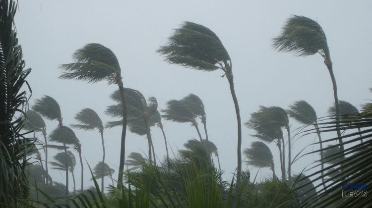
During storms, winds may change direction suddenly and become significantly stronger for a short time. Stronger gusts are also forecast.
The orange warning level means that phenomena causing significant disruptions may occur.
With such heavy rainfall, local flooding may occur, and violent winds and hail may cause damage.
Problems may also arise with road traffic and outdoor activities.
Drivers should be especially careful during heavy rainfall, when visibility can deteriorate rapidly and large amounts of water can accumulate on the roads in a short time.
CHECK ALSO
Conditions can change rapidly throughout the day. Check the current weather and forecast for the largest cities.
The change will be felt not only because of the rain.
In recent days, temperatures inland have been approaching 40°C. Saturday's maximum temperatures are expected to reach around 30°C both inland and along most of the coast.
In the highest parts of the mountains, temperatures are forecast to reach around 21°C.
This means a temperature drop of up to about 9–10°C in just a few days.
On Wednesday, we reported that weather models indicated an unusually early change in conditions for late August. At the time, rain and the possibility of thunderstorms were forecast. The latest data is clearly more serious – the Department of Meteorology has issued an orange warning.
CHECK ALSO
Meteorologists had already announced a sudden change in the weather on Saturday..
On Saturday the sky will be very cloudy at times.
Localized rainfall and thunderstorms are expected in many areas throughout much of the day. Some of these storms may be heavy and bring hail and strong wind gusts.
According to meteorologists, the most unstable conditions should persist until early evening.
There is a seasonal low pressure over the region, and additionally an atmospheric disturbance is coming from the north, which favors the development of violent phenomena.
Such a sudden change in weather is expected to be short-lived.
Conditions will begin to stabilize on Sunday and temperatures will rise again.
Sunny weather is expected to prevail on Sunday, Monday, and Tuesday. However, clouds may develop in the afternoon, bringing isolated showers, especially in the Troodos region.
Temperatures will gradually rise and by Tuesday should return to around the average values for the end of August.
The orange alert therefore applies primarily to Saturday, but due to the possible intensity of storms, this one day could bring exceptionally violent conditions.
Sources: Department of Meteorology of the Republic of Cyprus, KYPE/CNA